The Tamil Nadu Agricultural University (TNAU) had its genesis from establishment of an Agricultural School at Saidapet, Madras, Tamil Nadu, as early as 1868 and it was later relocated at Coimbatore.
Close
Get in touch
- info@tnau.ac.in
- 0422 6611200
- Monday to Friday: 9am to 5pm
Ph.D. in Remote Sensing and GIS
Prelude
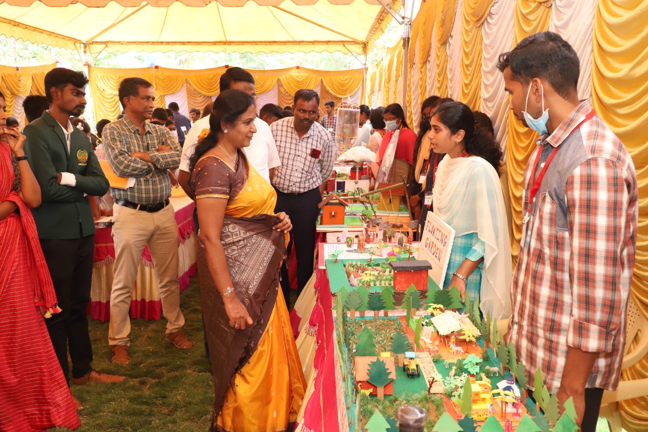
Geospatial technology is one of the growing applications in the space of emerging technologies. Geospatial technology plays a vital role in our daily activities and is embedded in most of the systems and applications we use today. In agriculture, this technology is used in every activity from land preparation, seed sowing to harvest of the crop. Geospatial technology systems broadly include mapping and surveying techniques like global positioning systems, geographic information systems, remote sensing, etc., which are essential to in the management of geospatial data and disasters. GIS has a unique ability to store, label, and analyze information using spatial systems. This is considered an important tool for planning, managing, and decision-making at various levels. In order to meet out the demand of the industry and academic institutions the doctoral programme is being offered.
Why this programme?
- To educate the students and research scholars on basics and applications of Remote Sensing and GIS in agriculture
- To generate and assemble geo-spatial data on natural resources like soil, crop and water resources for the benefit of the policy makers, researchers, extension officials and farmers
- To support Human Resource Development in various agricultural applications of Remote Sensing, GIS, GNSS & Drones in agricultural sector
Study Programme of Remote Sensing and GIS
The Doctoral programme in Remote Sensing and GIS has been designed following the UGC guidelines with the aim,
- To introduce students on the advanced topics in digital remote sensing applications.
- To teach processing of Multispectral, Thermal, Hyperspectral, Microwave and Aerial remote sensing and to inculcate practical skill for wide range of remote sensing data interpretation and processing techniques.
- To teach the advancements in Geographic Information System processing and analysis techniques and prepare the students to develop mapping skills based on the assumptions and interpretations of geographic data
- To develop the skills of critical evaluation which should be applied to all outputs from GIS analysis and understand the concepts and practice of GIS customization
- To introduce students the spatial programming as a way to automate common GIS tasks like spatial analysis, spatial data mining and application development as a way to increase accuracy and reduce drudgery and expose to more practical skills.
- Use of spatial data in the assessment, monitoring and management of natural resources.
- To impart knowledge on crop monitoring, yield prediction and Precision agriculture using Remote sensing, GIS and Drone technologies with Crop growth simulation models.
Application and Admission
Interested in taking part in the programme of Ph.D Remote Sensing and GIS? Find out more about the specific Admission requirements and the application procedures. If you doubt whether admission is possible, feel welcome to apply online. The Admission Committee will check your admissibility.
Future Career
Want to know about the job opportunities after completing the Ph.D. in Remote Sensing and GIS.
Employment opportunities;
-Academic Institutions as Faculty
-Geospatial data analyst in various Government and Private firms
-Project advisors / managers in firms dealing with spatial data
-Advanced image processing specialist
Doctoral in Remote Sensing and GIS course
Doctoral Courses
After admission the students undergo a set of courses that help them understand the advances in Remote Sensing and GIS as per the Choice Based Credit System (CBCS) with a total credit load of 100 credits, of which 75 credits are exclusively earmarked for their Thesis Research.
Doctoral thesis research
After completing the courses in the first year, the students start their thesis research. Each student is assigned to an experienced faculty, approved by the Dean of School of Post-Graduate Studies, who would guide the student on his/ her choice of research topic
Research internship
The students are exposed to several scientific events like symposia and conferences. Many are encouraged to have internship training at Indian Institute of Remote Sensing, GIS companies, Drone industries and other institutes for a couple of months, either in India or abroad.